
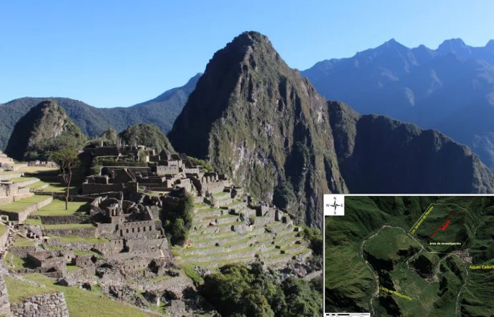
Jan Bartek – AncientPages.com – A team of Polish and Peruvian archaeologists has discovered more than 2.5 kilometers of previously unknown Inca roads hidden beneath the dense tropical forest canopy near the ancient citadel of Machu Picchu.
The breakthrough, which also includes mapping forgotten terraces, platforms, and circular structures, strongly challenges long-standing assumptions about how the Incas used and engineered the landscape around their most famous sanctuary.
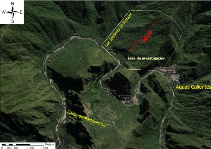
Location of discovered road. Credit: Bartłomiej Ćmielewski
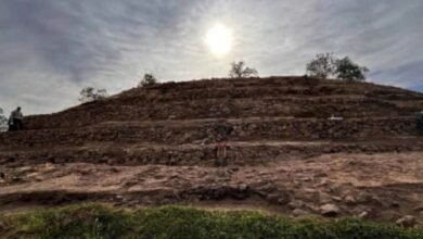
The discoveries were made during fieldwork conducted in July and August on the steep, unforgiving slopes of Mount Yanantin. Situated on the eastern side of the Andes at altitudes ranging between 2,000 and 2,700 meters, the rough terrain and dense, humid jungle rendered the archaeological remains virtually invisible from the ground.
High-Tech Laser Scanning Defeats The Jungle
To overcome the hostile vegetation, the international research team utilized drone-based LiDAR (Light Detection and Ranging) technology to penetrate the forest canopy from above. By filtering out the dense flora, the laser-pulse scanning system allowed researchers to generate highly detailed three-dimensional models of the terrain. This cutting-edge method exposed subtle elevation shifts, linear paths, and structural layouts that had been lost to nature for centuries.
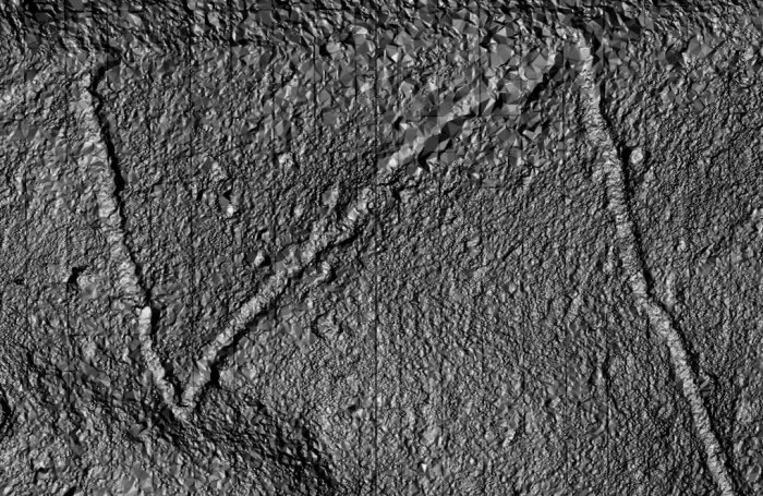
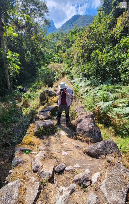
Discovered road. Credit: Bartłomiej Ćmielewski
Fieldwork involved demanding physical clearing, with Dr. Bartlomiej Cmielewski noting it took three hours to hack through just 250 meters of forest. Professor Mariusz Ziólkowski emphasized the scale of the task and noted that significantly more hidden paths likely remain, requiring painstaking LiDAR data analysis.
The LiDAR surveys have so far revealed more than 2.5 kilometers of previously unknown pre-Columbian roads, including one clearly defined section at least 1.2 kilometers long.
“There are certainly at least twice as many out there, though. LiDAR requires hours of analysis using complex software. It is very painstaking work, which is why we have only completed the first stage of analysis so far,” says Ziółkowski.
Rewriting The Map Of Machu Picchu
The newly mapped structures on the Urubamba River’s right bank challenge the assumption that Inca planning was confined to the left bank, modifying hypotheses regarding the broader network of satellite sites. Professor Ziólkowski pointed out that this previously neglected area underwent significant cultural transformation. While matching classic engineering styles, the exact age of these paths remains unconfirmed and may include pre-Inca elements.
“This discovery complements and significantly modifies hypotheses regarding the functioning of the entire complex. Within Machu Picchu National Park, road networks link over 60 archaeological sites.
Wall at Mandor. Credit: Jeff Contreras
These sites served various satellite functions relative to the main complex, known as Llaqta de Machu Picchu. They are situated primarily on the left bank of the Urubamba River, and it previously appeared that the Incas had concentrated their urban planning efforts there. The roads we have discovered alter this picture; it turns out that the opposite bank of the river also underwent significant cultural transformation during Inca times,” says Ziółkowski.
“The area we have now investigated had not attracted much attention – fortunately for us, one might say,” he adds.
Protecting A Vulnerable World Heritage Site
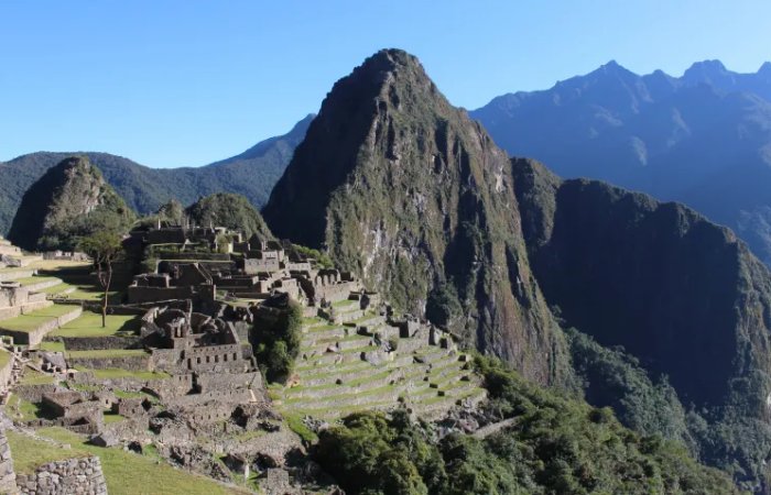
Machu Picchu. EPA/Paula Bayarte 04.06.2023
Even after more than a century of intensive archaeological investigation, the region surrounding Machu Picchu continues to surprise researchers. The ancient citadel and its surrounding cultural landscape have held UNESCO World Heritage status since 1983, yet this latest discovery proves that the dense cloud forests still guard major secrets waiting to be unveiled.
See also: More Archaeology News
Working alongside Peruvian authorities and under the supervision of Dr. Nino del Solar Velarde, the team is keeping coordinates confidential to prevent looting. Looking forward, Dr. Cmielewski confirmed plans to seek permits for expanded LiDAR surveys and targeted excavations.
Source: Science in Poland
Written by Jan Bartek – AncientPages.com Staff Writer